Rd Map Precision Locator Range
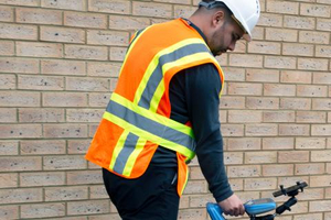
Simple to Use

-

Free Android Utility Mapping App
-
Works with Bluetooth Precision Locators
-
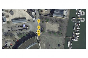
Google Maps Interface
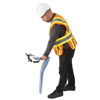
RD Map™ is the free Map&Share™ Android app which supports Radiodetection’s Bluetooth Precision locators and allows locator technicians to create detailed maps of buried utilities and share them directly from the field*.
RD Map uses Google Maps to create detailed maps of sub-surface utilities. Utilities are imported to Google Maps using markers and utility tracks identified using standard coloring.
Simple to use measurement tools allow the operator to correct any GPS inaccuracy immediately.
For situations where very high accuracy position measurements are needed RD Map can be set to utilize a compatible Bluetooth GPS/GNSS receiver.
MAIN BENEFITS:
- Free Android utility mapping app - RD Map is free to download and use from the Google Play store
- Works with Bluetooth Precision locators - Compatible with the RD8200® locators, RD7100® RF marker and all RD8100® locators
- Uniform Color coding - Utility path and icons in standard coded colors, compliant with American Public Works Association
- Google Maps interface - RD Map uses Google Maps for real time map creation and editing
- Multiple GPS sources - RD Map can use the position obtained from the locator, the android device or an external high precision GPS/GNSS source
- Measuring tools - Distance and radius tools to validate the accuracy of your measurements' position
- Map & Share - Share kml or csv map files with your favorite Android application, directly from the field
- Online knowledge base - RD Map offers a comprehensive knowledge base library which is available to consult online using your favorite browser from a mobile device or pc
- Online Technical support - Find an answer to or ask technical questions 24/7 by using Radiodetection’s support portal